Below is a brief introduction to the rationale behind the ODaT project. For more information on the outcomes and findings, see my pages on temporal analyses, spatial data products and high resolution data products.
The outputs of oceanographic campaigns have clear value for the advancement of marine science, but it is important that these benefits extend to the broader marine community. Discussion with numerous industry partners identified the need for a data tool which translated existing ocean data into ‘value-added’ products.
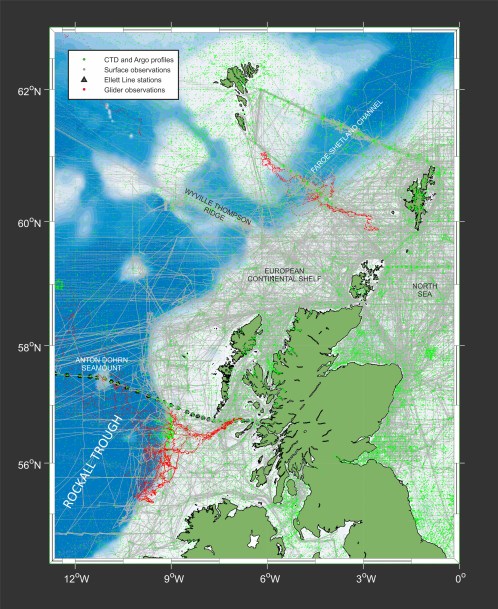
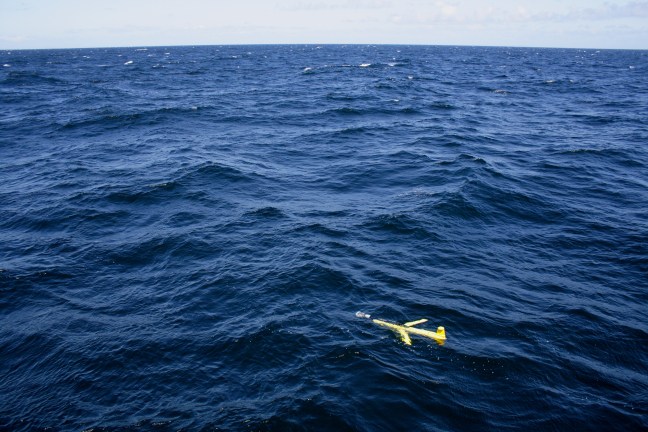
During this project, I’m working closely with end users to translate the science and data outputs of NERC oceanographic programmes, creating an innovative data layer tool that is supported through a web mapping service. Initially, the project focusses on the outputs of three recent or ongoing oceanographic campaigns: FASTNEt (Fluxes Across Sloping Topography in the North-East Atlantic), OSNAP (Overturning in the Subpolar North Atlantic Program) and the EEL (Extended Ellett Line). These projects have developed novel observational techniques, combining autonomous robotic systems with more traditional ocean monitoring tools (for instance, fixed moorings and CTD transects).
This has resulted in the regular occupation of the Eastern Atlantic and adjacent shelf seas with platforms capable of conducting high-frequency, high precision measurements. When combined with historical data in the region, these campaigns allow the mapping of ocean properties at an unprecedented range of spatial and temporal scales.
The benefits to end users include increased situational awareness through improved knowledge of baseline properties and the ability to visualise environmental conditions with a greater resolution and flexibility than is currently possible.
I’m working on ODaT in collaboration with other staff at SAMS, and it is funded by NERC.

